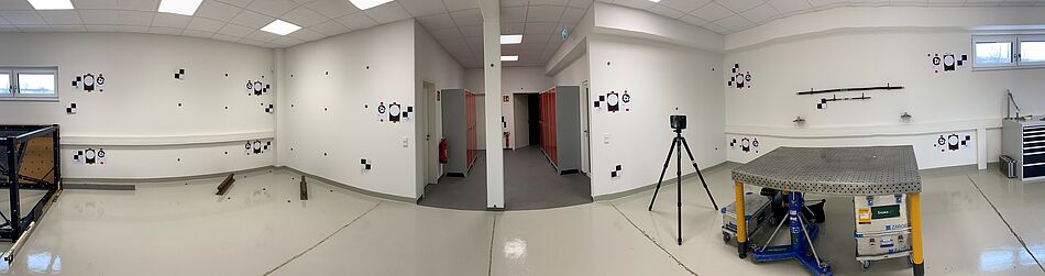
In terrestrial laser scanning, the question repeatedly arises of how to link the various scanner positions as precisely as possible to create a homogeneous point cloud.
When registering individual scans, various methods—such as cloud-to-cloud or target-based approaches—can be used.
In a small test, one of our student interns investigated the extent to which the code targets specified by FARO for short-range scanning up to 6 m yield better results than the standard checkerboard or circular markers.
Conclusion: Within a range of up to 7 m, the code targets produce better results than the standard targets used previously; that is, for confined spaces such as stairwells, they serve as a useful supplement to 2D and 3D targets.